Geodatabase with QGIS and PostGIS
The Geodatabases course is aimed at those who need to learn how to manage a geodatabase of complex geographic data. The course also covers the use of PostGIS many database functions that allow for complex geoprocessing to be carried out within the database and displayed in real-time.
Upon completion of the course, trainees will dispose of a fully featured virtual PostGIS server, ready to be uploaded to any virtualised environment provider.
It is suggested to have basic knowledge of the SQL language.
Course outline
-
Short introduction to Free and Open Source GIS
-
Advantages of using a database for GIS
-
Introduction to
PostgreSQL <https://www.postgresql.org/>__ -
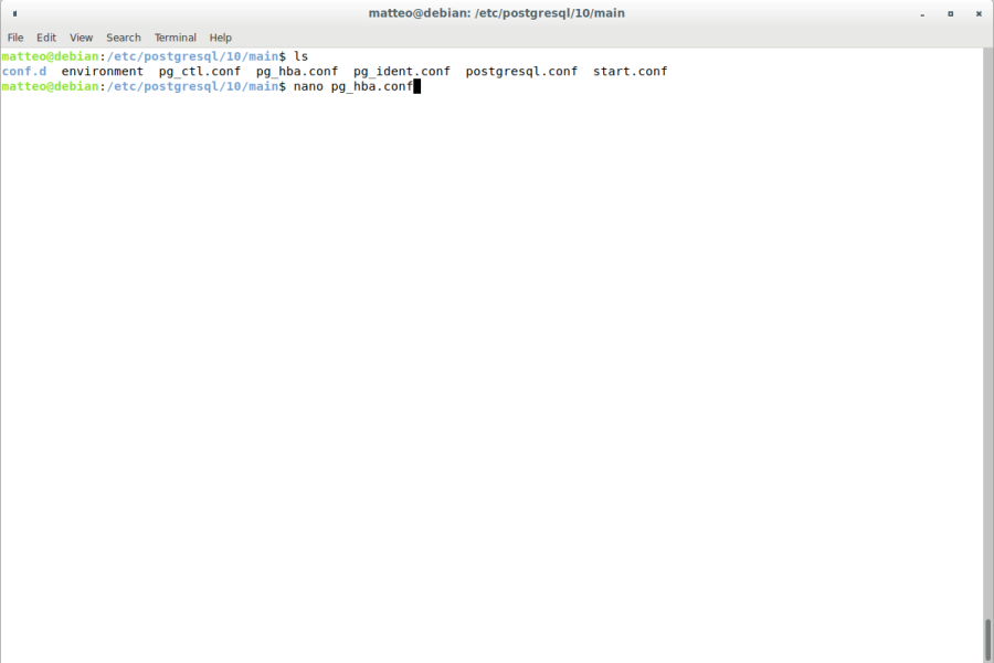
Initial database configuration: configuration files, server management
-
PostgreSQL optimisation
-
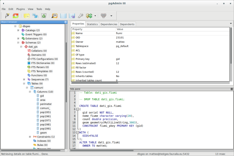
Introduction to PostGIS (Open Geospatial Consortium standard)
-
Geodatabases: structure and format of the data
-
Command line administration: psql
-
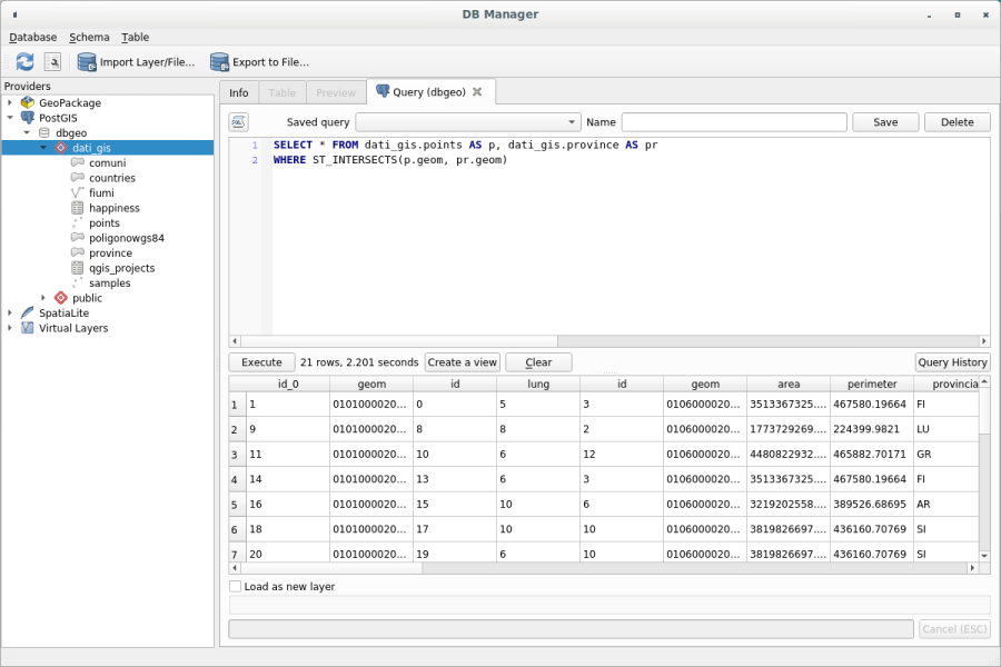
The graphical front-ends: QGIS, phpPgAdmin, pgAdmin 4, OpenOffice, etc.
-
Administration of the database and access to the data: role, user, group, permissions
-
Schemas, Tables, Views, and Functions
-
Creation of a geodatabase and the use of the GIS template
-
PostGIS and QGIS
- Properties, import/export, conversion between formats
- digitizing
- queries, advanced plugins, versioning, etc.
-
SQL spatial analyses: practical exercises, basic and advanced
-
Spatial indexes
-
Benchmarking
-
Advanced geodatabase functions
-
Spatial reference systems, conversions
-
PostGIS rasters
-
Topology support
-
Backing up (dumping and restoring)
Length
16 hours split in 4 half days